Our Work
Eelgrass: The nursery of estuaries
Eelgrass (Zostera marina L.) is a keystone species in healthy estuaries. It provides numerous water quality and ecosystem benefits. Healthy eelgrass beds provide habitat for fish, crabs, lobsters, and many other species. Eelgrass also provides resilience by stabilizing sediments, capturing and storing carbon, and attenuating the impacts of waves especially during storms. A healthy eelgrass habitat supports many human commercial and recreational uses e.g., fishing, that are important for the economic wellbeing of coastal communities.
Eelgrass is very susceptible to poor water quality, changes in temperature, as well as physical disturbance. Over the past several decades, eelgrass abundance has declined significantly in the northeast coast. I the MassBays study area we have lost over half of our eelgrass acreage as a result of numerous stressors including changes in land use and land cover from increased coastal development, poor water quality and physical disturbance, among others.
MassBays and our partners have set out to fulfil a CCMP goal to restore eelgrass habitat to 1995 levels by 2050. MassBays and our partners have been involved in multiple efforts to monitor and restore the extent and health of our eelgrass beds throughout the years.
Below we provide information on some of our more recent eelgrass work with this important plant. The data, pictures and videos offer some insight into this unique aquatic habitat and its importance as a keystone species in our estuaries.
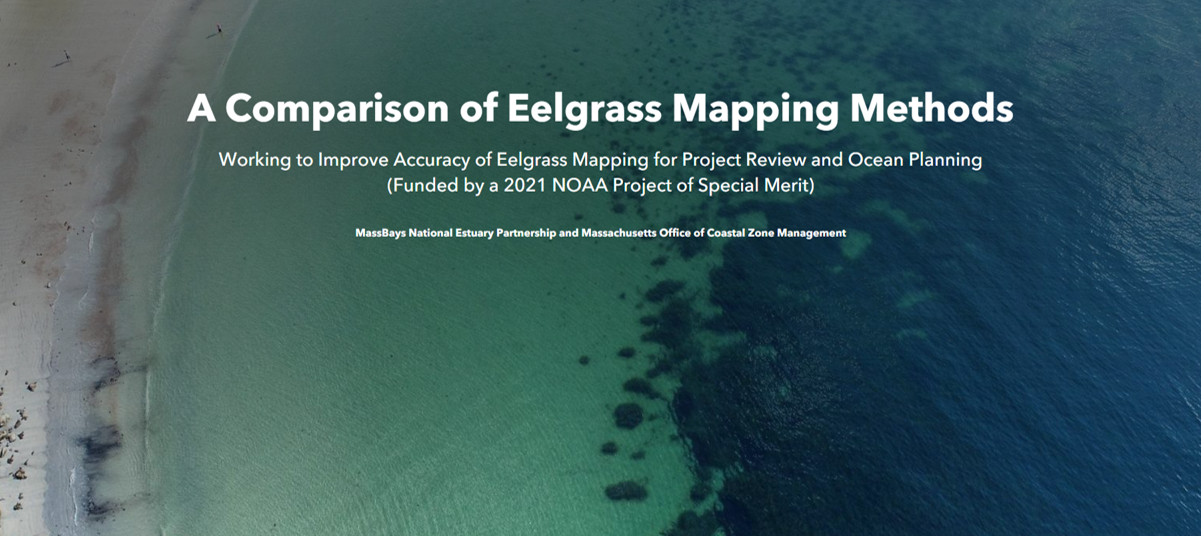
An inter-method comparison of drones, airplanes, satellites and side scan sonar for eelgrass mapping
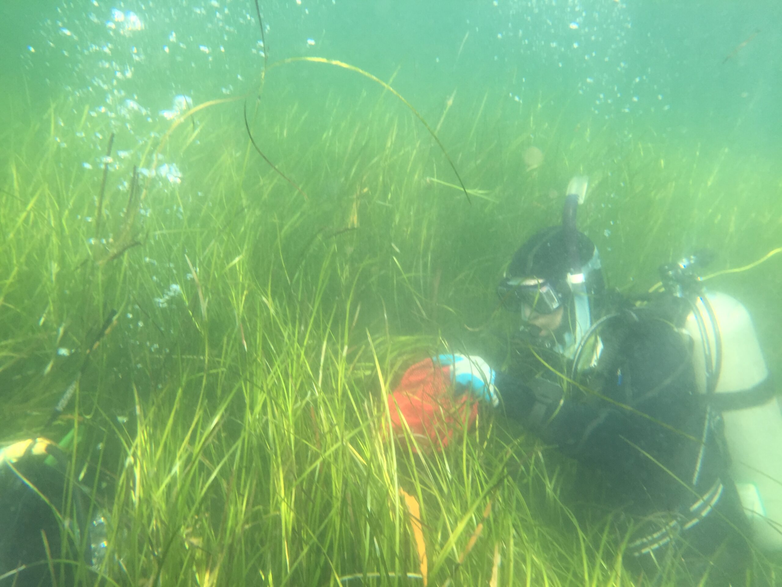
MassBays, CZM and several agency and nonprofit partners teamed up on a study that assessed different methods of mapping eelgrass (Zostera marina). Eelgrass is a marine meadow-forming plant that provides critical fisheries habitat, improves water quality, stores carbon, and protects the shoreline from storms. To properly manage and protect eelgrass, accurate mapping information is needed to track the location and size of meadows. Several remote sensing methods such as satellites, airplanes, drones, and underwater side scan sonar provide imagery that can be analyzed for eelgrass, but little is known about the accuracy and limitations of maps generated from these sources, especially when it comes to the meadow’s edge.
This 18-month study, funded through the 2021 National Oceanic and Atmospheric Administration’s Project of Special Merit grant program (grant no. NA21NOS4190031), compared different remote sensing methods against SCUBA diver surveys to (1) determine if and how much eelgrass was missed by each method, (2) assess the effects of eelgrass percent cover, canopy height and meadow patchiness on survey performance, and (3) make management recommendations regarding the use of remote sensing data for eelgrass mapping. Field work took place in summer 2022 and included diver transects, boat-based underwater photo ground truthing, drone and airplane flights, and sonar surveys at eelgrass sites in Gloucester, Beverly, Swampscott, Nahant, and Cohasset in Massachusetts.
Results showed that all remote sensing methods under-mapped eelgrass, especially at the deep edge, and map accuracy decreased with decreasing imagery resolution. Eelgrass percent cover, canopy height and meadow patchiness all influenced remote survey performance, but to varying degrees. For an in-depth analysis and to see project maps, dive into our final report, and the project Quality Assurance Project Plan (QAPP). A recorded presentation about the study can be found here. For a visual tour of the project, visit the Story Map below.
Project Contact: Jill Carr, MassBays Coastal Data Scientist
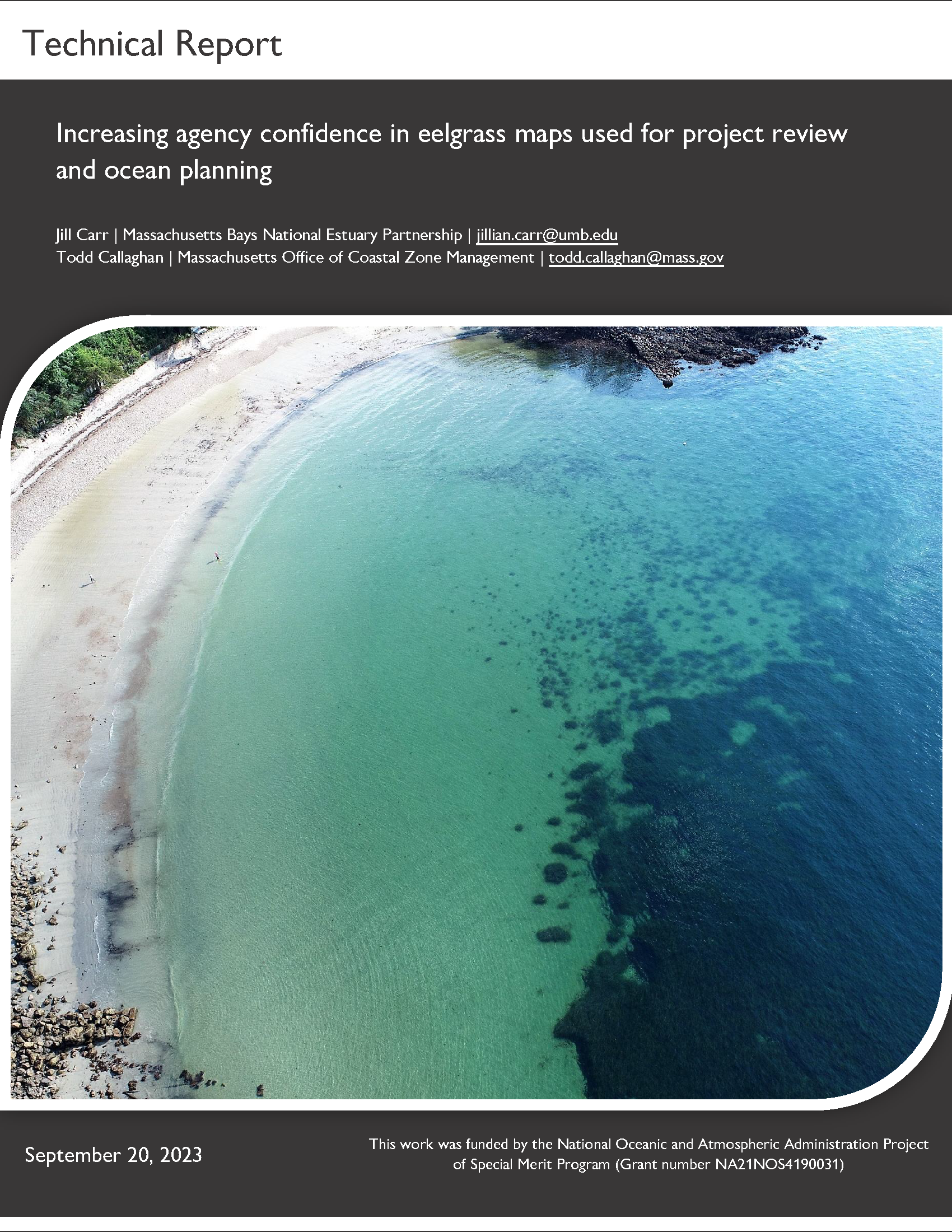
Increasing agency confidence in eelgrass maps used for project review and ocean planning (J. Carr and T. Callaghan, 2023)
Remote sensing imagery is heavily relied upon where eelgrass maps are needed for tracking trends, project siting and permitting, government waterbody assessments, and restoration planning. However, there is a low degree of confidence in the exact location of the shallow and deep edges derived from remote sensing imagery, thus risking inadequate resource protection. In this study, semi-synchronous drone, airplane, satellite and side scan sonar missions were conducted alongside SCUBA diver and photo ground-truthing surveys at five Massachusetts eelgrass meadows. Maps derived from each remote sensing survey were compared to diver and photo ground-truthing results to (1) determine if and how much eelgrass was missed by each method, (2) assess the effects of eelgrass percent cover, canopy height and meadow patchiness on survey performance, and (3) make management recommendations regarding the use of remote sensing data for eelgrass mapping. Results showed that all remote sensing methods under-mapped eelgrass, especially at the deep edge, and map accuracy generally decreased with decreasing imagery resolution. Eelgrass percent cover, canopy height and meadow patchiness all influenced remote survey performance to varying degrees.
Investigating the cause of eelgrass loss in Duxbury-Kingston-Plymouth Bays
Since 1995 MassBays has lost over 60% of the eelgrass in Duxbury-Kingston-Plymouth (DKP) Bays. For the past decade, MassBays and its partners including Division of Marine Fisheries and North and South Rivers Watershed Association have been actively investigating the cause of these drastic losses.
Since 2012, DMF has conducted acoustic surveys that clearly showed were eelgrass is thriving and where it is struggling to survive. Clearly, more frequent monitoring to better understand the year-to-year variations were needed. MassBays and DMF set out to develop a protocol for a rapid assessment survey that can be conducted by citizen scientists to gather presence/absence data on eelgrass in DKP. Since 2017, every August at the height of eelgrass growth, several volunteers including boat owners, donated their time to collect data from 119 stations across DKP.
This "Tier 2" monitoring serves to observe the changing health, condition and extent of eelgrass beds throughout DKP. North and South Rivers Association (NSRWA) together with volunteers visits 119 sites and takes measurements of eelgrass including percent cover, average canopy height, and checks for epifauna and signs of wasting disease.